Top 5 Scenic Mountain Drives
Summer is a great time for road tripping, but being stuck in a hot car isn’t all that appealing—nothing like a little bare skin on sticky vinyl. Travelers who opt for the high road, however, will find both cooler temps and panoramic vistas. Which high road, you say? Well, GORP has 5 scenic mountain drives for you to choose from.
Mount Baker Scenic Byway, Washington
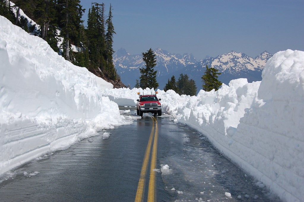 We love summer for the coming of warmer temperatures, but thank the cold touch of ice for shaping the rugged scenery of Washington’s North Cascades, where glaciers still sprawl across the northern end of Mount Baker National Forest. Here you’ll find Mount Baker Scenic Byway winding heavenward among the towering, jagged peaks.
Just seven miles along the drive, a quick side trip down Wells Creek Road takes you to spectacular Nooksack Falls. This 175-foot gush is one of the thundering waterfalls that gave the Cascades their name.
After cruising through the old-growth forest of Mount Baker Wilderness, the road soon rises above the trees, offering grand views of the North Cascades high country. Stop at Heather Meadows for a hike, a picnic, and a view of Mount Shuksan. Nearby Picture Lake reflects the 9,127-foot peak on its calm surface.
The last ten miles of the byway climb 3,200 feet to Artist Point (5,140 feet), where an easy one-mile hike leads you to Mount Baker (10,775 feet), a still-active volcano.
Just the Facts
Route: Glacier to Artist Point on WA 542.
Length: 24 miles (one hour)
Season: Summer to early fall.
Icefields Parkway, Alberta, Canada
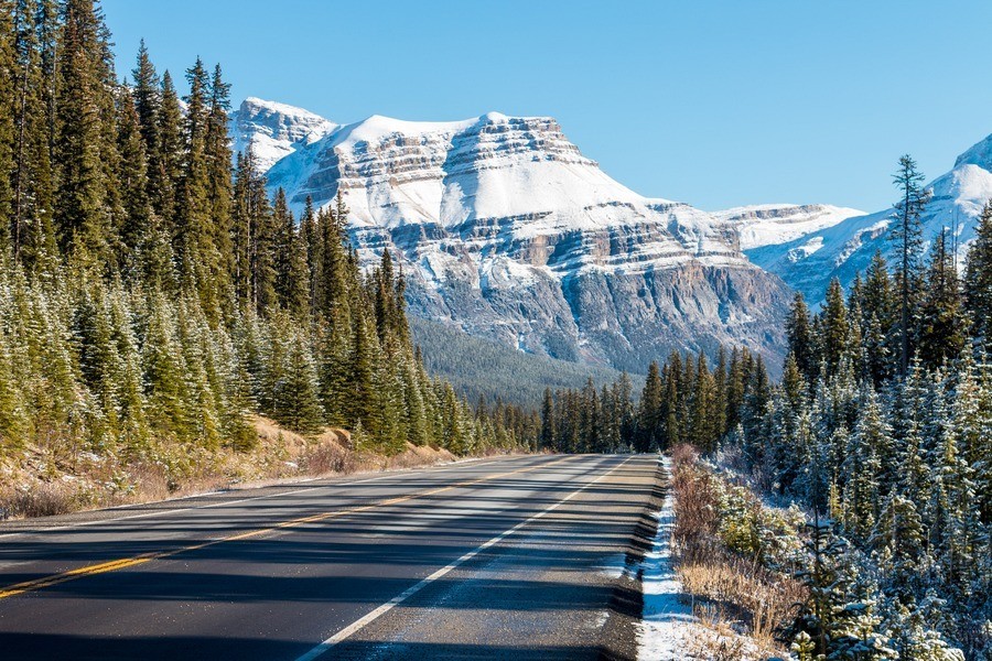 For mountain driving on a grand scale, head north to Canada’s Icefields Parkway. This road takes you through Banff and Jasper National Parks, across the Continental Divide, and right past three massive glaciers.
Your first scenic highlight appears at mile 2, where Crowfoot Glacier hangs from a cliff face some 900 feet above. At mile 23, stop to take in the blue-green waters of Bow Lake, flanked by Crowfoot Peak to the left and Bow Glacier to the right. The two-mile round-trip Parker Ridge trail (mile 73) leads you to a lofty ridge overlooking Saskatchewan Glacier and the Columbia Icefield—North America’s largest subpolar ice pack.
In addition to the beautiful landscape, look out for big-name wildlife such as grizzlies, black bears, moose, and caribou, especially at dusk and dawn.
Just the Facts
Route: Lake Louise to Jasper on Highway 93.
Length: 137 miles (three to five hours)
Season: Open year-round, with temporary closures in winter due to snow.
Note: Vehicles need national park pass.
Going-to-the-Sun Road, Montana
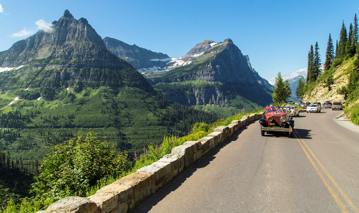
Some call Going-to-the-Sun Road a don’t-look-down kind of drive. Just pull off when you do, and you’ll be fine. Believe you me, there are plenty of reasons to stop the car, such as wildflower meadows, alpine vistas, and abundant wildlife.
Going-to-the-Sun Road splits the northern and southern halves of Glacier National Park in two and crosses the Continental Divide at Logan Pass (6,646 feet); make a pit stop here and check out the blazing alpine wildflower bloom, which usually peaks in July.
For another killer photo op, wait for the road to emerge from the forest about a mile after Jackson Glacier. As you round the hairpin turn, pull off—remember, safety first—and take in 10,014-foot Mount Siyeh; the peak is flanked by Going-to-the-Sun Mountain (9,642′) on the right, and Cataract (8,180′) and Piegan Mountains (9,220′) on the left.
Just as prairie and mountain converge in the park, multiple habitats come together within Glacier—which makes for a diversity of flora and fauna you won’t otherwise find in this region. Glacier hosts some 264 species of birds and 60 species of mammals. Keep your eyes peeled for mountain goats, bighorn sheep, grizzlies, and black bears, just to name a few.
Just the Facts
Route: St. Mary to Apgar through Glacier National Park.
Length: 50 miles (two hours)
Season: Early June to mid-October.
Take note: Park admission fee.
Beartooth Highway, Montana and Wyoming
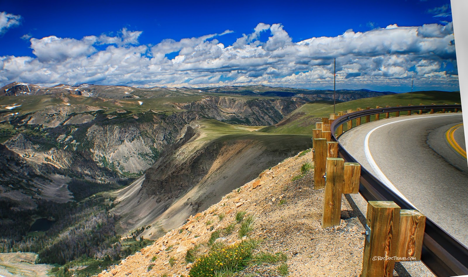
Although the Beartooth Highway (U.S. 212) passes through three national forests— Custer, Shoshone, and Gallatin —you’re not here for the trees. From its starting point in Red Lodge, Montana, an old mining town, the Beartooth quickly ascends above the timberline, climbing into a land of glacier-carved cirques, alpine lakes—almost a thousand of them—and fragile tundra.
As you head south on the highway, stop at the aptly named Vista Point for a 9,200-foot view of the Beartooth Plateau across Rock Creek Canyon. Once you hit Wyoming, your southern view stretches across canyons carved by the Clarks Fork. To the north, look for the Absaroka-Beartooth Wilderness; here you’ll find the fanglike namesake of the Beartooth Mountains.
The western summit of Beartooth Pass, where the route tops out at 10,947 feet, marks the high point of this high-country drive. If that’s not high enough for you, take your mountaineering gear out of the trunk when you finish the drive and make the long trek to Granite Peak—at 12,799 feet, it’s Montana’s highest mountain.
On your descent from Beartooth Pass, look for Beartooth Falls, as well as another thunderous cascade near Lake Creek. For one last photo opportunity before the drive ends near Yellowstone National Park, climb the Clay Butte lookout (an old fire tower) for a killer vista of Montana mountains, including Pilot and Index Peaks.
Just the Facts
Route: From Red Lodge, Montana, to Cooke City, Wyoming, near the northeastern entrance of Yellowstone.
Length: 68 miles (three hours)
Season: Late spring to fall.
Snowy Mountain Range Road, Wyoming
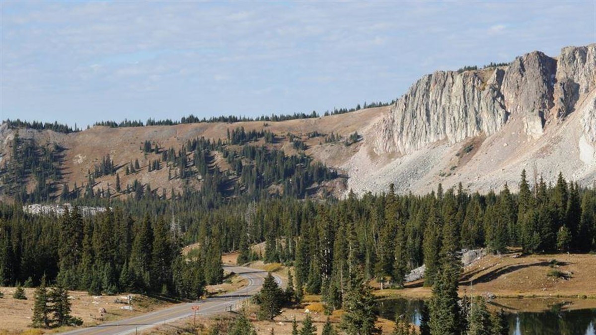
Climbing high above the Wyoming prairie, Snowy Range Road passes through Medicine Bow National Forest and across part of the Medicine Bow Mountains—the highway’s namesake Snowy Range. Indeed, you’ll see snow on these towering peaks even in summer.
June and July are prime months for the wildflower bloom, and hikers can enjoy several byway-accessible trails, including a route up Medicine Bow Peak (12,013 feet). Alpine lakes offer flyfishing for high-country trout, and deer, elk, and moose all forage within sight of the drive.
From Snowy Range Road’s highest point, the 10,847-foot pass across the mountains at Libby Flats, you’ll have a stunning view of surrounding peaks; a clear day offers a view of the mighty Colorado ranges to the south.
Just the Facts
Route: Laramie to Saratoga on WY 130 and 230.
Length: 85 miles (three hours)
Season: Late spring through fall; closed in winter.
Medicine Bow—Routt National Forest
Tips: Always use high outfitters as per weather so you could feel easy and enjoy nature like hunter use special design hunting outfitters which design for long term wear.

